Weather and Tide Table
Waning Gibbous Moon
Blustery
06h12
Sunrise
Sunrise
21h01
Sunset
Sunset
Seg
12 - 26
Ter
14 - 25
Qua
15 - 24
Qui
14 - 22
Sex
14 - 21
17
ºC
Air Temperature
N
30
km/h
Wind Speed and Direction
54
%
Relative Humidity
1013
mbar
Atmospheric Pressure
13%
Flood Tide
05h25
to High Tide
to High Tide
11:01
Low Tide
Low Tide
17:17
High Tide
High Tide
No Data
Water Temperature
No Data
Wave Direction
No Data
Wave Medium Height
No Data
Wave Medium Period
91% | 3,1 m 10.2 ft | High Tide | |
90% | 1,0 m 3.3 ft | Low Tide | |
88% | 3,2 m 10.5 ft | High Tide | |
87% | 1,1 m 3.6 ft | Low Tide | |
85% | 3,0 m 9.8 ft | High Tide | |
83% | 1,2 m 3.9 ft | Low Tide | |
81% | 3,1 m 10.2 ft | High Tide | |
79% | 1,2 m 3.9 ft | Low Tide | |
77% | 2,8 m 9.2 ft | High Tide | |
75% | 1,3 m 4.3 ft | Low Tide | |
73% | 2,9 m 9.5 ft | High Tide | |
71% | 1,4 m 4.6 ft | Low Tide | |
68% | 2,7 m 8.9 ft | High Tide | |
66% | 1,5 m 4.9 ft | Low Tide | |
63% | 2,8 m 9.2 ft | High Tide | |
61% | 1,5 m 4.9 ft | Low Tide | |
58% | 2,5 m 8.2 ft | High Tide | |
56% | 1,6 m 5.2 ft | Low Tide | |
53% | 2,7 m 8.9 ft | High Tide | |
50% | 1,5 m 4.9 ft | Low Tide | |
47% | 2,5 m 8.2 ft | High Tide | |
44% | 1,7 m 5.6 ft | Low Tide | |
42% | 2,7 m 8.9 ft | High Tide | |
39% | 1,5 m 4.9 ft | Low Tide | |
36% | 2,6 m 8.5 ft | High Tide | |
33% | 1,5 m 4.9 ft | Low Tide | |
31% | 2,9 m 9.5 ft | High Tide | |
28% | 1,3 m 4.3 ft | Low Tide | |
25% | 2,8 m 9.2 ft | High Tide | |
23% | 1,3 m 4.3 ft | Low Tide | |
20% | 3,1 m 10.2 ft | High Tide | |
18% | 1,0 m 3.3 ft | Low Tide | |
16% | 3,1 m 10.2 ft | High Tide | |
13% | 1,1 m 3.6 ft | Low Tide | |
11% | 3,3 m 10.8 ft | High Tide | |
10% | 0,8 m 2.6 ft | Low Tide | |
8% | 3,3 m 10.8 ft | High Tide | |
6% | 0,8 m 2.6 ft | Low Tide | |
5% | 3,6 m 11.8 ft | High Tide | |
3% | 0,6 m 2 ft | Low Tide | |
2% | 3,5 m 11.5 ft | High Tide | |
2% | 0,6 m 2 ft | Low Tide | |
About the Beach
What is Praia de Caxias Beach?
It's an Oceanic Beach in the northern hemisphere bathed by the Atlantic Ocean, located on the coast of Portugal - Iberian Peninsula - in the municipality of Oeiras.
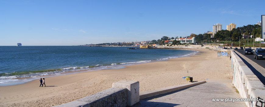
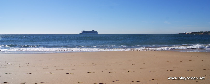
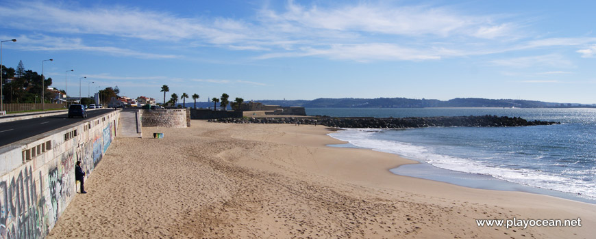
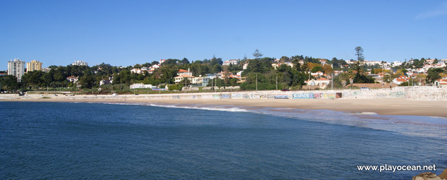
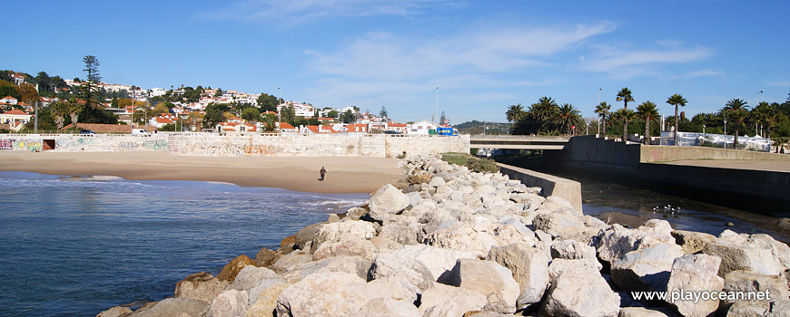
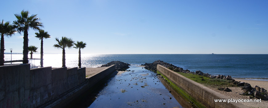
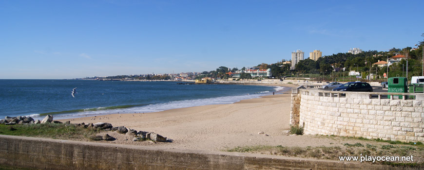
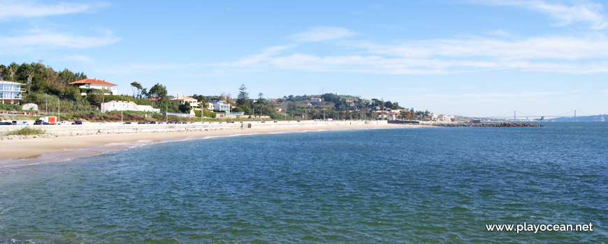
Praia de Caxias Beach, also known as Praia do Lagoal Beach, has a very long stretch of sand, located in a bay. It's west bounded by the Forte de Nossa Senhora de Porto Salvo or Forte da Giribita1 and to the east by the Ribeira de Barcarena or dos Ossos1.
The only existing rocks are located at the western end of the beach.
At east it's possible to contemplate the Forte de São Bruno3, built in 1647.
Car parking is too small for the amount of bathers that the beach can support.
References
- Nossa Senhora de Porto Salvo Fort, also known as Giribita Fort
- Barcarena Stream, also known as Ossos Stream
- São Bruno Fort
Where is it?
Map of Praia de Caxias Beach
| Coordinates Decimal Degrees (Lat/Long WGS84) Degrees, Decimal Minutes (Lat/Long WGS84) Degrees, Minutes, Seconds (Lat/Long WGS84) |
Lat. 38.698499º Lon. -9.277526º N 38º 41.90994' W 9º 16.65156' N 38º 41' 54.6" W 9º 16' 39.09" |
| Parish | Caxias |
| County | Oeiras |
| District | Lisboa |
| Region | Estremadura |
| Country | Portugal |
| Continent | Europe |
| Ocean | North Atlantic |
| Maritime Authority | Capitania do Porto de Lisboa |
| Protected Area | |
| Bathing Water | |
| Coastal Unit | São Julião da Barra - Praia das Bicas |
| Coastal Region | Costa Azul |
Awards
| Award | 2017 | 2016 | 2015 | 2014 | 2013 | 2012 | 2011 | 2010 | 2009 | 2008 | 2007 | 2006 |
|---|---|---|---|---|---|---|---|---|---|---|---|---|
| Water Quality | ||||||||||||
| Blue Flag | ||||||||||||
| Gold Flag | ||||||||||||
| Handicapped-Accessible Beach | ||||||||||||
| Zero Polution |
Reviews (1)
Login to Review.
or start session at
.
-
6/ 10Praia com Bandeiras Azul e Semáforos sanitários com capacidade de 2100pessoasFrancisco Semedo 2020-06-11 13:58
