Weather and Tide Table
Waning Gibbous Moon
Clear
20h55
Sunset
Sunset
06h13
Sunrise
Sunrise
Seg
12 - 27
Ter
13 - 26
Qua
13 - 24
Qui
13 - 22
Sex
14 - 21
20
ºC
Air Temperature
WNW
11
km/h
Wind Speed and Direction
60
%
Relative Humidity
1009
mbar
Atmospheric Pressure
55%
Ebb Tide
03h26
to Low Tide
to Low Tide
00:43
Low Tide
Low Tide
18:29
High Tide
High Tide
No Data
Water Temperature
No Data
Wave Direction
No Data
Wave Medium Height
No Data
Wave Medium Period
77% | 2,7 m 8.9 ft | High Tide | |
75% | 1,3 m 4.3 ft | Low Tide | |
73% | 2,8 m 9.2 ft | High Tide | |
71% | 1,3 m 4.3 ft | Low Tide | |
68% | 2,6 m 8.5 ft | High Tide | |
66% | 1,4 m 4.6 ft | Low Tide | |
63% | 2,7 m 8.9 ft | High Tide | |
61% | 1,4 m 4.6 ft | Low Tide | |
58% | 2,4 m 7.9 ft | High Tide | |
56% | 1,6 m 5.2 ft | Low Tide | |
53% | 2,6 m 8.5 ft | High Tide | |
50% | 1,5 m 4.9 ft | Low Tide | |
47% | 2,4 m 7.9 ft | High Tide | |
44% | 1,6 m 5.2 ft | Low Tide | |
42% | 2,6 m 8.5 ft | High Tide | |
39% | 1,4 m 4.6 ft | Low Tide | |
36% | 2,5 m 8.2 ft | High Tide | |
33% | 1,5 m 4.9 ft | Low Tide | |
31% | 2,8 m 9.2 ft | High Tide | |
28% | 1,2 m 3.9 ft | Low Tide | |
25% | 2,7 m 8.9 ft | High Tide | |
23% | 1,3 m 4.3 ft | Low Tide | |
20% | 3,0 m 9.8 ft | High Tide | |
18% | 0,9 m 3 ft | Low Tide | |
16% | 3,0 m 9.8 ft | High Tide | |
13% | 1,0 m 3.3 ft | Low Tide | |
11% | 3,2 m 10.5 ft | High Tide | |
10% | 0,7 m 2.3 ft | Low Tide | |
8% | 3,2 m 10.5 ft | High Tide | |
6% | 0,7 m 2.3 ft | Low Tide | |
5% | 3,5 m 11.5 ft | High Tide | |
3% | 0,5 m 1.6 ft | Low Tide | |
2% | 3,5 m 11.5 ft | High Tide | |
2% | 0,5 m 1.6 ft | Low Tide | |
1% | 3,6 m 11.8 ft | High Tide | |
0% | 0,4 m 1.3 ft | Low Tide | |
0% | 3,6 m 11.8 ft | High Tide | |
0% | 0,4 m 1.3 ft | Low Tide | |
0% | 3,7 m 12.1 ft | High Tide | |
0% | 0,4 m 1.3 ft | Low Tide | |
1% | 3,6 m 11.8 ft | High Tide | |
2% | 0,4 m 1.3 ft | Low Tide | |
About the Beach
What is Praia do Malhão (Sul) Beach?
Lifeguarded Beach from to
days for the start of bathing season
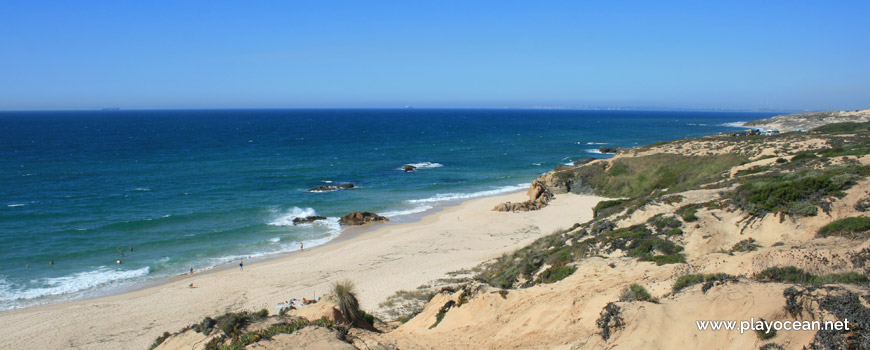
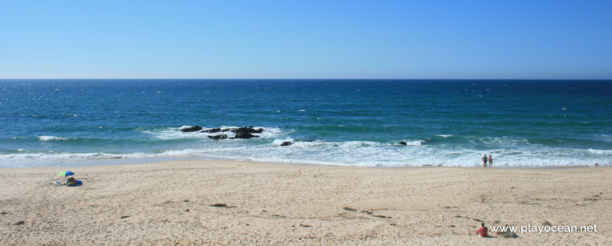
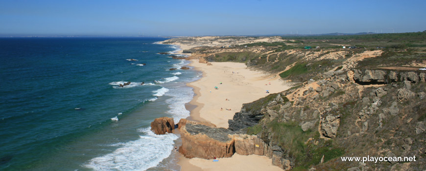
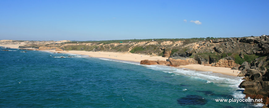
It's an Oceanic Beach in the northern hemisphere bathed by the Atlantic Ocean, located on the coast of Portugal - Iberian Peninsula - in the municipality of Odemira.
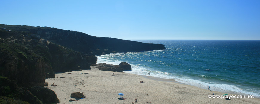
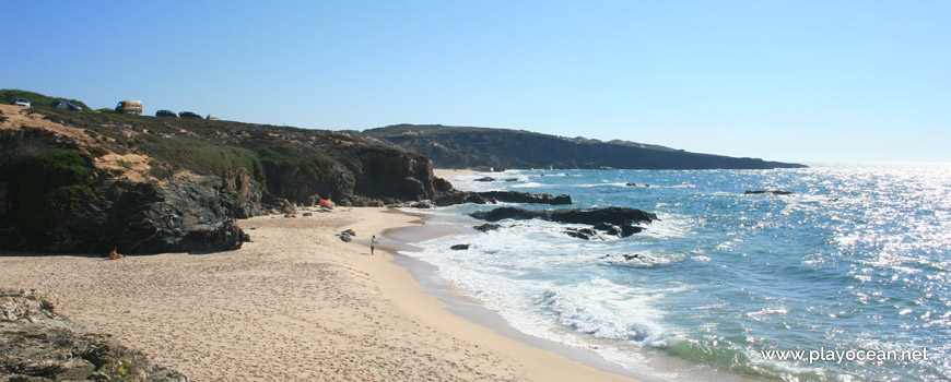
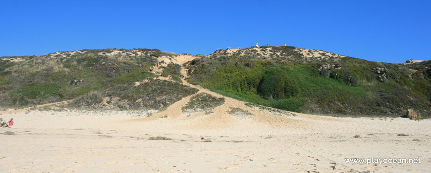
Praia do Malhão (South) Beach owns a reasonable extension of sand, located at the base of a cliff. It's north bounded by four cliff tips where plus two smaller sandy areas can be found. This area is known as Praia das Galés Beach.
At south, beside an area known as Praia da Bica Beach, there's a very high rocky ledge, entering almost 300 meters into the sea.
The access is granted through the exit of Estrada Municipal 3901 to the Estrada Municipal 10722, heading west.
References
- 390th Municipal Road
- 1072th Municipal Road
Where is it?
Map of Praia do Malhão (Sul) Beach
| Coordinates Decimal Degrees (Lat/Long WGS84) Degrees, Decimal Minutes (Lat/Long WGS84) Degrees, Minutes, Seconds (Lat/Long WGS84) |
Lat. 37.779385º Lon. -8.802117º N 37º 46.7631' W 8º 48.12702' N 37º 46' 45.79" W 8º 48' 7.62" |
| Parish | Vila Nova de Milfontes |
| County | Odemira |
| District | Beja |
| Region | Baixo Alentejo |
| Country | Portugal |
| Continent | Europe |
| Ocean | North Atlantic |
| Maritime Authority | Capitania do Porto de Sines |
| Protected Area | Parque Natural do Sudoeste Alentejano e Costa Vicentina |
| Bathing Water | Malhão |
| Coastal Unit | São Torpes (N) - Pedra da Foz (Vila Nova de Milfontes) |
| Coastal Region | Costa Vicentina |
Awards
| Award | 2017 | 2016 | 2015 | 2014 | 2013 | 2012 | 2011 | 2010 | 2009 | 2008 | 2007 | 2006 |
|---|---|---|---|---|---|---|---|---|---|---|---|---|
| Water Quality | ||||||||||||
| Blue Flag | ||||||||||||
| Gold Flag | ||||||||||||
| Handicapped-Accessible Beach | ||||||||||||
| Zero Polution |
Documents
Reviews (1)
Login to Review.
or start session at
.
-
9/ 10É extrordinária! Só faltam equipamentos de apoio. E o acesso podia ser melhorado.Armando Mamede 2021-09-18 12:22
