Weather and Tide Table
Waning Gibbous Moon
Blustery
06h01
Sunrise
Sunrise
21h08
Sunset
Sunset
Seg
11 - 20
Ter
13 - 21
Qua
14 - 21
Qui
13 - 22
Sex
15 - 19
16
ºC
Air Temperature
NNW
25
km/h
Wind Speed and Direction
74
%
Relative Humidity
1016
mbar
Atmospheric Pressure
29%
Ebb Tide
01h43
to Low Tide
to Low Tide
13:20
Low Tide
Low Tide
07:20
High Tide
High Tide
No Data
Water Temperature
No Data
Wave Direction
No Data
Wave Medium Height
No Data
Wave Medium Period
70% | 1,2 m 3.9 ft | Low Tide | |
68% | 2,6 m 8.5 ft | High Tide | |
66% | 1,4 m 4.6 ft | Low Tide | |
63% | 2,8 m 9.2 ft | High Tide | |
60% | 1,3 m 4.3 ft | Low Tide | |
58% | 2,5 m 8.2 ft | High Tide | |
55% | 1,5 m 4.9 ft | Low Tide | |
53% | 2,7 m 8.9 ft | High Tide | |
50% | 1,4 m 4.6 ft | Low Tide | |
47% | 2,4 m 7.9 ft | High Tide | |
44% | 1,5 m 4.9 ft | Low Tide | |
41% | 2,7 m 8.9 ft | High Tide | |
38% | 1,3 m 4.3 ft | Low Tide | |
36% | 2,5 m 8.2 ft | High Tide | |
33% | 1,4 m 4.6 ft | Low Tide | |
30% | 2,8 m 9.2 ft | High Tide | |
28% | 1,1 m 3.6 ft | Low Tide | |
25% | 2,8 m 9.2 ft | High Tide | |
23% | 1,2 m 3.9 ft | Low Tide | |
20% | 3,1 m 10.2 ft | High Tide | |
18% | 0,9 m 3 ft | Low Tide | |
15% | 3,0 m 9.8 ft | High Tide | |
13% | 0,9 m 3 ft | Low Tide | |
11% | 3,3 m 10.8 ft | High Tide | |
9% | 0,6 m 2 ft | Low Tide | |
8% | 3,3 m 10.8 ft | High Tide | |
6% | 0,7 m 2.3 ft | Low Tide | |
5% | 3,5 m 11.5 ft | High Tide | |
3% | 0,4 m 1.3 ft | Low Tide | |
2% | 3,5 m 11.5 ft | High Tide | |
1% | 0,5 m 1.6 ft | Low Tide | |
1% | 3,7 m 12.1 ft | High Tide | |
0% | 0,3 m 1 ft | Low Tide | |
0% | 3,7 m 12.1 ft | High Tide | |
0% | 0,3 m 1 ft | Low Tide | |
0% | 3,8 m 12.5 ft | High Tide | |
1% | 0,3 m 1 ft | Low Tide | |
1% | 3,7 m 12.1 ft | High Tide | |
2% | 0,3 m 1 ft | Low Tide | |
3% | 3,7 m 12.1 ft | High Tide | |
4% | 0,4 m 1.3 ft | Low Tide | |
5% | 3,7 m 12.1 ft | High Tide | |
7% | 0,3 m 1 ft | Low Tide | |
About the Beach
What is Praia de Antas Beach?
It's an Oceanic Beach in the northern hemisphere bathed by the Atlantic Ocean, located on the coast of Portugal - Iberian Peninsula - in the municipality of Esposende.
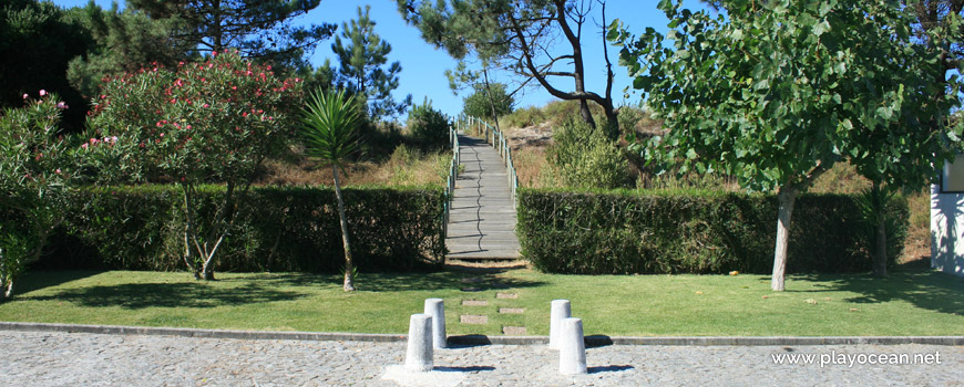
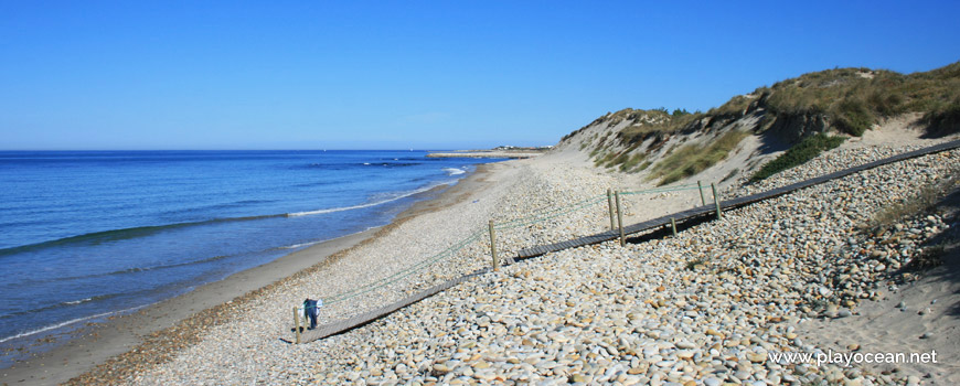
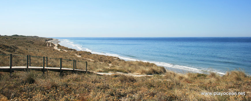
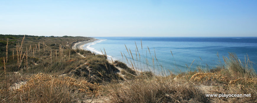
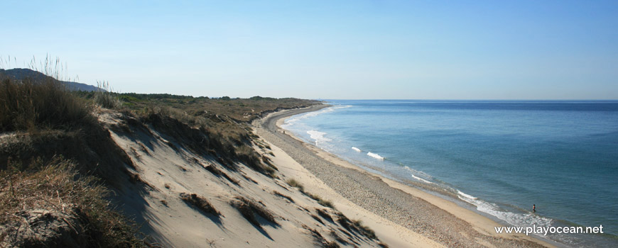
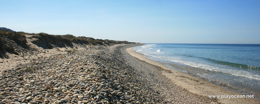
Praia de Antas Beach, also known as Praia de São Paio de Antas Beach, has a sand of about 1,2 Km filled in most of its extension by rolled pebbles. It is flanked to the east by forest.
The beach belongs to the Rio Neiva1 mouth by the south margin.
Guests of Parque de Campismo de Belinho2 are the main source of visitors at this isolated place.
Access is done through the localities of Laje or Santo Amaro if coming from south.
References
- Neiva River
- Belinho Campsite
Where is it?
Map of Praia de Antas Beach
| Coordinates Decimal Degrees (Lat/Long WGS84) Degrees, Decimal Minutes (Lat/Long WGS84) Degrees, Minutes, Seconds (Lat/Long WGS84) |
Lat. 41.608569º Lon. -8.808715º N 41º 36.51414' W 8º 48.5229' N 41º 36' 30.85" W 8º 48' 31.37" |
| Parish | Antas |
| County | Esposende |
| District | Braga |
| Region | Minho |
| Country | Portugal |
| Continent | Europe |
| Ocean | North Atlantic |
| Maritime Authority | Capitania do Porto de Viana do Castelo |
| Protected Area | Parque Natural do Litoral Norte |
| Bathing Water | |
| Coastal Unit | Foz do Rio Lima (N) - Cabo de Santo André |
| Coastal Region | Costa Verde |
Awards
| Award | 2017 | 2016 | 2015 | 2014 | 2013 | 2012 | 2011 | 2010 | 2009 | 2008 | 2007 | 2006 |
|---|---|---|---|---|---|---|---|---|---|---|---|---|
| Water Quality | ||||||||||||
| Blue Flag | ||||||||||||
| Gold Flag | ||||||||||||
| Handicapped-Accessible Beach | ||||||||||||
| Zero Polution |
Reviews
Login to Review.
or start session at
.
